Visit the Cemetery
Maps & Trails
Trails.
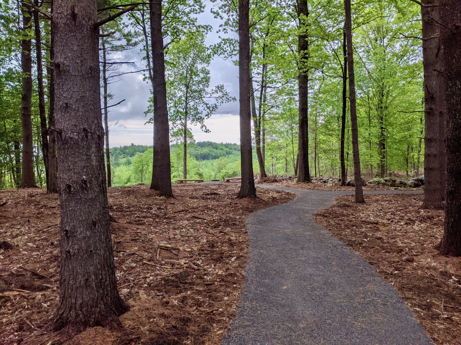
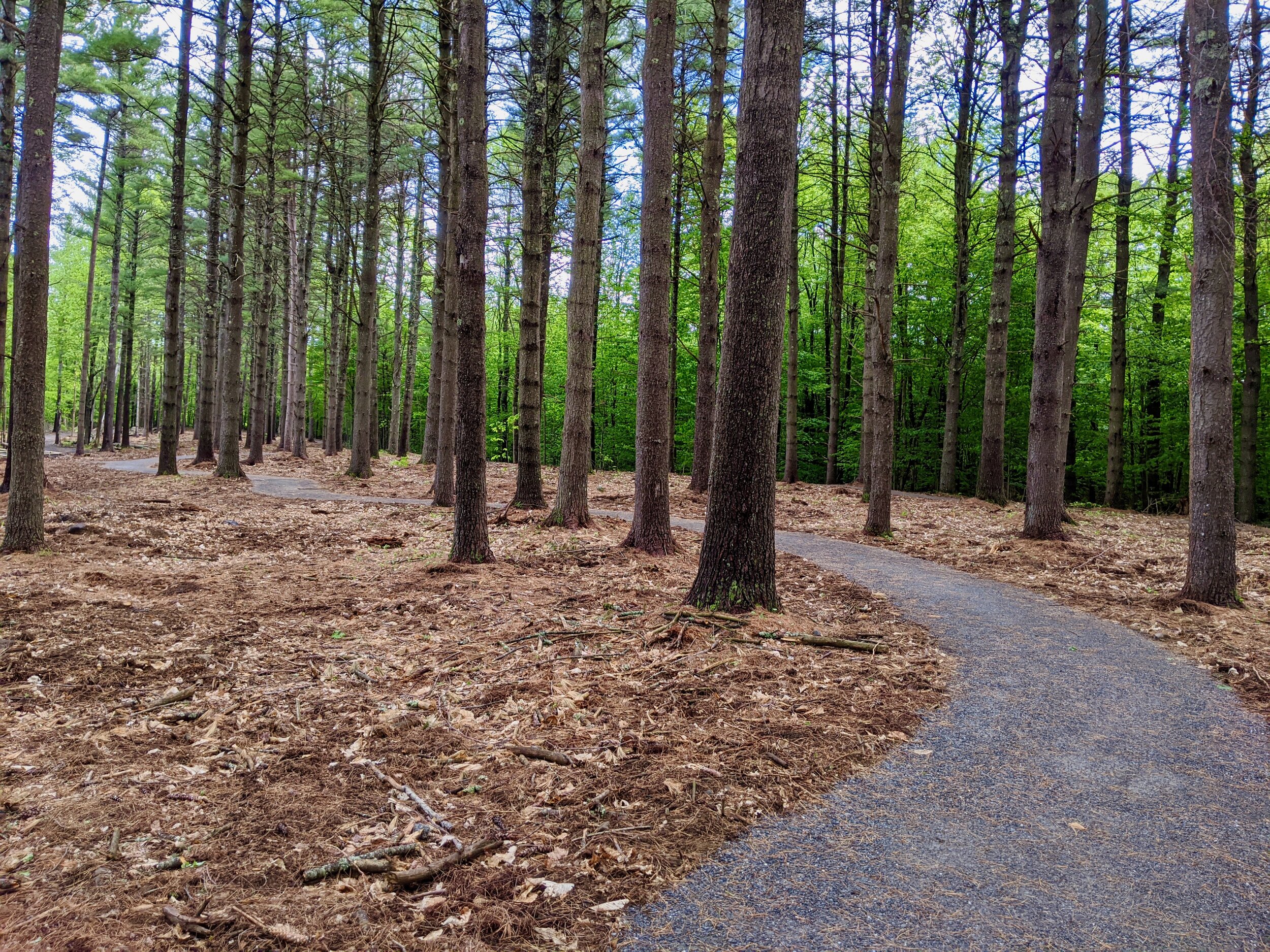
A 0.25-mile fine-graveled universally accessible trail weaves through the tall white pines of the burial ground, offering a chance for reflection and a lovely view. The fall foliage is stunning in late September and October. Parking for hikers is at the bottom of the gated access road, where a 0.3-mile hike up the scenic gravel road will take visitors to the trail, burial ground, and viewpoint. Visitors with family at the burial ground or with mobility impairments can contact KLT to gain access through the gate.
The universally accessible trail was constructed in 2020 through a partnership with OBP Trailworks LLC.

Overview Map.
Close-up of cemetery, leaf off.
Area Conserved Land.
Meadowbrook Farm Conservation Area - privately owned, protected by a KLT conservation easement (CE)
Matthews Wildlife Habitat
Torsey Pond Nature Preserve (owned by the Town of Readfield, protected by a KLT CE)
Directions and Parking map.