About

The Land
The lay of the land.
The Baldwin Hill Cemetery is a 10-acre parcel situated in the northern portion of, and surrounded on three sides by, the Baldwin Hill Conservation Area.
The conservation area straddles the Fayette Corner Road just east of its intersection with the Baldwin Hill Road in Fayette, Maine. It consists of a roughly 65-acre parcel northwest of Fayette Corner Road and a 15-acre parcel southeast of the road. These lands contribute to the eastern portion of a 450-acre nearly contiguous expanse of KLT protected land. The other properties in this expanse are the Sturtevant Farm Scenic Area, the Meadowbrook Farm Conservation Area, and Sturtevant Farm Meadow Brook. There are also two existing historic cemeteries nearby—the Kent Cemetery at the sharp bend in the Fayette Corner Road, and another behind the Fayette Baptist Church.
The Cemetery and northern portion of the Baldwin Conservation Area rests on the southern spine of Baldwin Hill, its relatively flat 784-foot summit located approximately a quarter-mile north of the Cemetery’s northern boundary. This gently sloping spine runs north/south and shows evidence of past farming practices. The remaining 80 acres are owned by KLT.
East of this gently sloping spine, the hill contains a few gullies as it fades more steeply into a wooded wetland. The approximately 15-acre parcel south of Fayette Corner Road consists partly of this freshwater forested wetland, as well as an undulating upland to the west. Both parcels drain into this wetland complex (separated by Fayette Corner Road and connected via culverts), which flows into Hales Pond to the east and eventually into the Androscoggin River further south.

Click to see more area maps
Land Resources.
Using criteria developed by Maine State Soil Scientist David Rocque, the Cemetery parcel was specifically selected for its suitability as a burial ground. Kennebec County soil surveys identify the soil unit as the Paxton series, with incursions of the Charlton series. Either type would be suitable for natural burial practices, but based on soil auger tests, Rocque believes that the site actually consists of the preferable Charlton series. This soil type, also known as the Berkshire series, is well-drained and fertile and does not contain a hardpan or high water table. It is a fine sandy loam glacial till that offers ideal conditions for a burial ground of any type. Two centuries of farming and forest management attest to the productivity of the soils.
In March of 2019, Two Trees Forestry developed a forest management plan for the property. The management plan describes the presence of high-quality pine and oak sawtimber, and an abundance of oak, white ash, and red maple poletimber, attributable to productive soils and past land management. The lowland portion of the property is described as having poorly drained and low productivity Ridgebury fine sandy loam soils, also formed in glacial till. These regions are best suited for red maple, balsam fir, and occasionally white pine. Due to the wetness and ecological significance of these lowlands, future timber harvesting is unlikely.

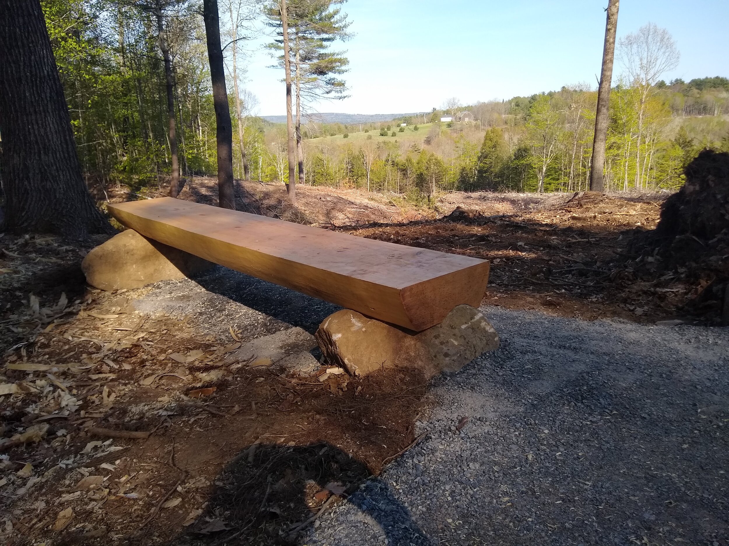
KLT Executive Director Theresa Kerchner, Funeral Home Director Lynn Roberts, and KLT Stewardship Director Jean-Luc Theriault admire the view.
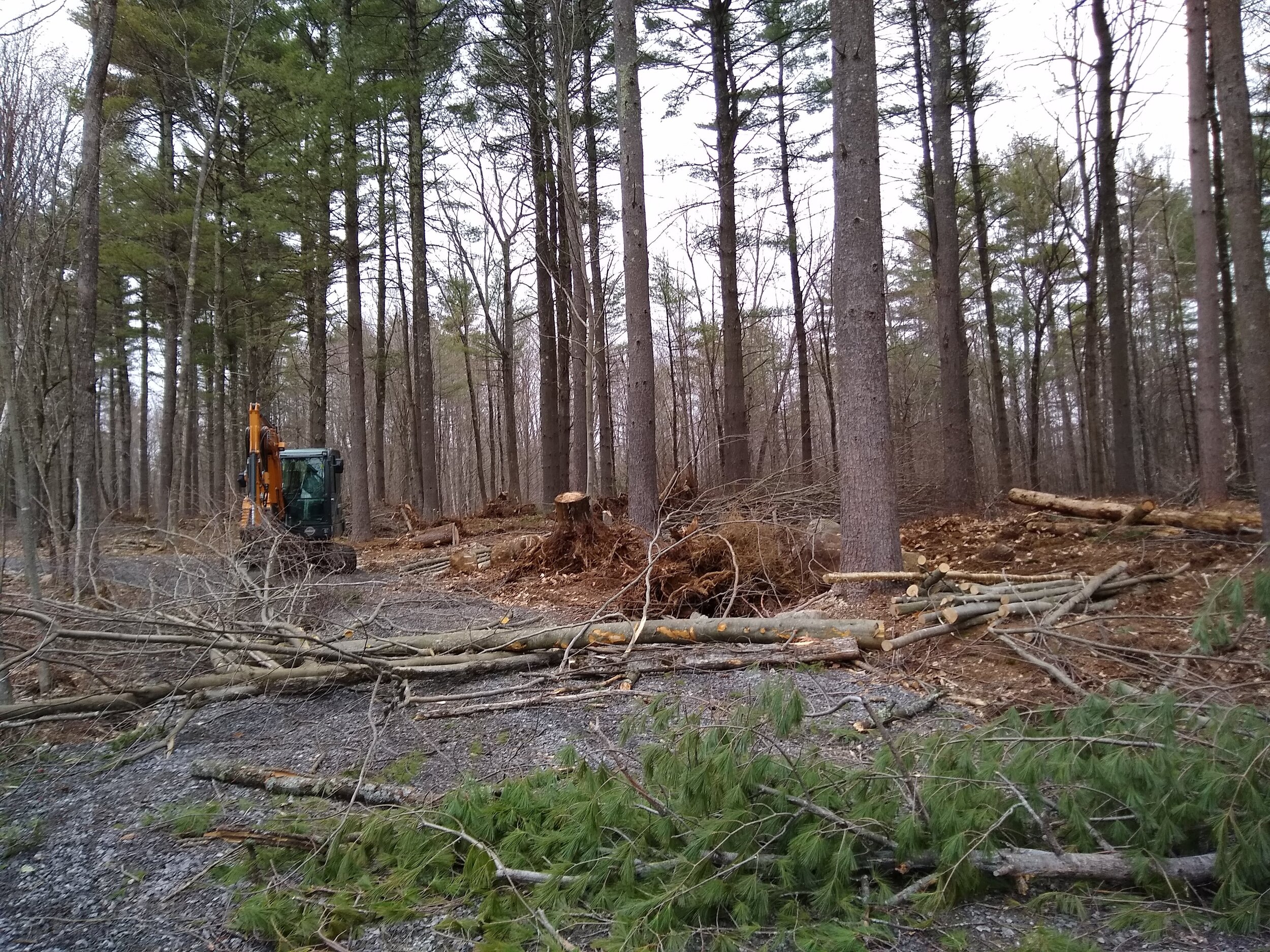
In 2019 KLT contracted with Two Trees Forestry to oversee a timber harvest on the upland portion of land, with a focus on selective removal of mature trees, stand thinning and improvement, and maintaining low ground impact. In addition, a three acre area of east-facing slope was clear-cut to provide for views, early successional habitat, and a field actively managed for native pollinator habitat.
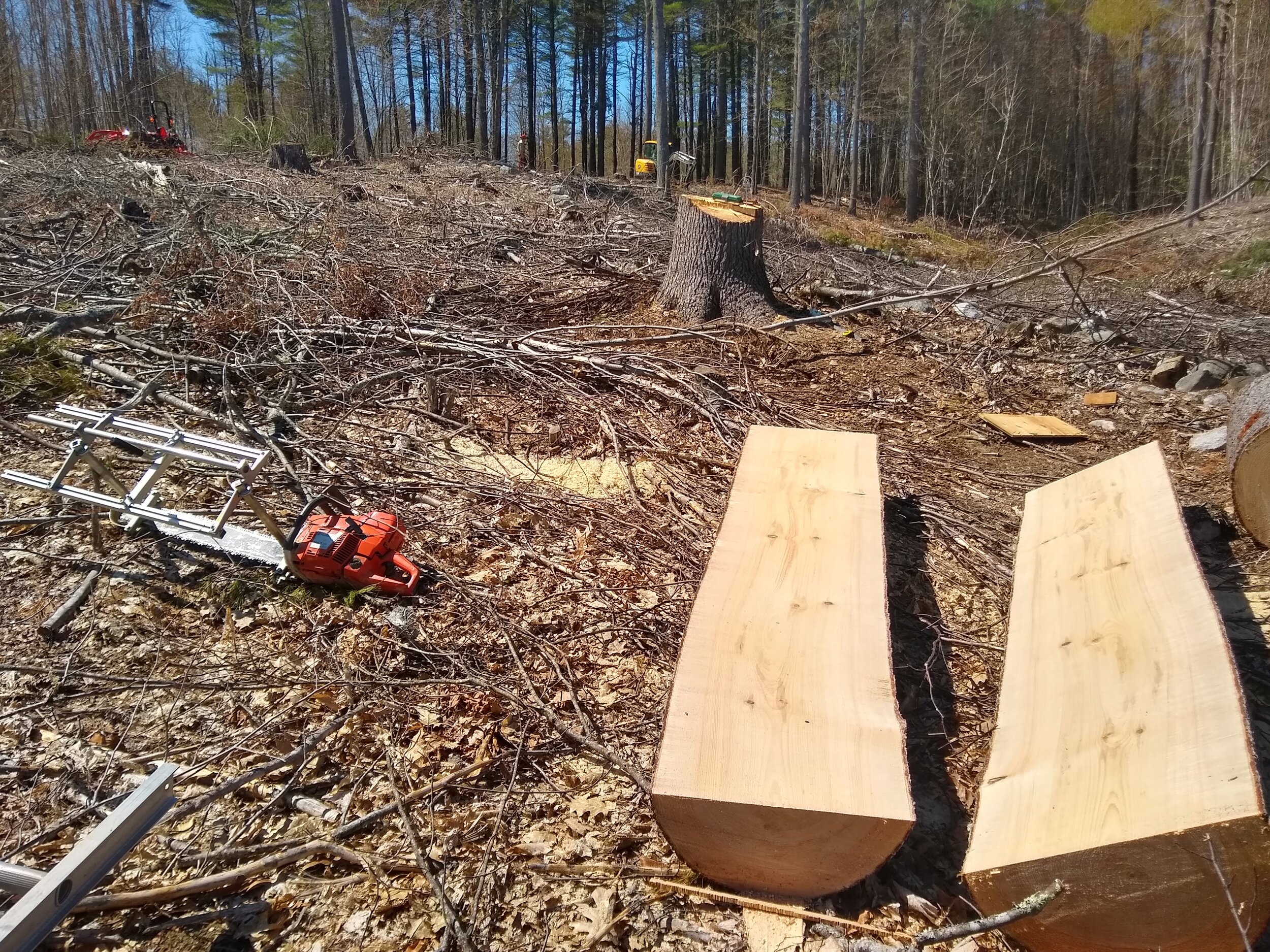
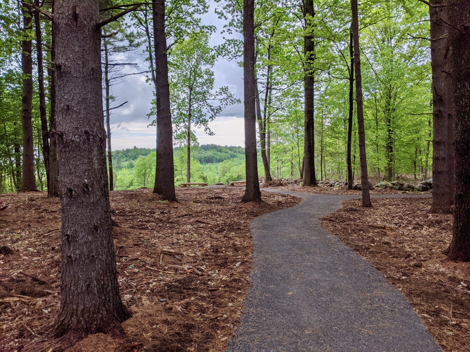
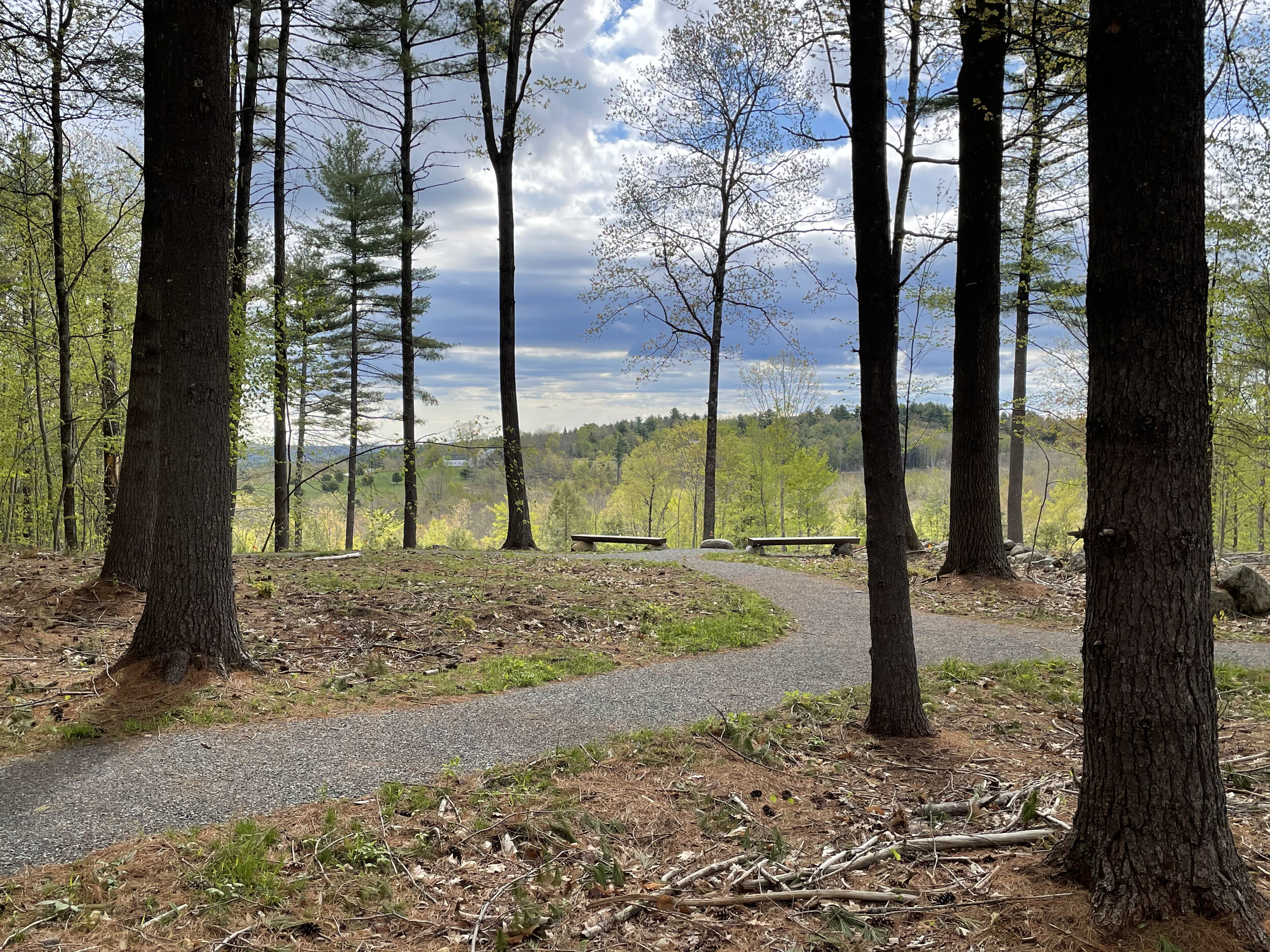
An all-season access road to the burial site was constructed in 2019-2020. It begins near an old gravel pit and recent log landing off the Fayette Corner Road and heads northerly up the hill along an existing logging grade. In 2020, after extensive understory thinning, a universally accessible trail was constructed within the 10-acre burial ground.
Both parcels of land have deed restrictions which prohibit development and, in the case of the ten acre cemetery, specify that it remain a conservation cemetery in perpetuity.